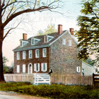
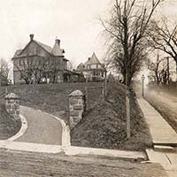
The photo faces west looking down Montgomery Avenue. 1900 maps show a group of wood frame buildings on the Lower Merion (right) side, gone in 1908 and under subdivision. A sign on the left, partially obscured by a tree, reads "Boarding Farm". It probably refers to the Libertyville farm where the "oldest house in Narberth" is located, on which John Kernan bred trotting horses.

Updated October 4, 2022.


